65 acre Beal Island (BI) is accessible only by canoe, kayak, or boat. The island has ample space for camping and is rented to only two parties at a time (maximum of 15/party).
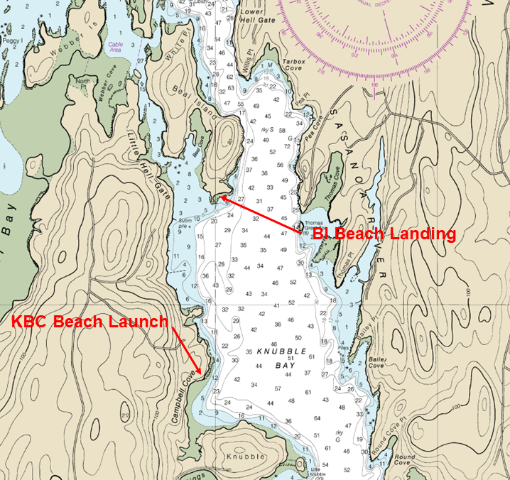
The adjacent chart shows the location of the Knubble Bay Camp (KBC) beach launch and the beach on Beal Island. BI is 0.6 nautical miles by water from the beach launch at KBC. With your paid reservation, you will be able to park at KBC and launch your canoe or kayak from there. Unlike other AMC facilities, the KBC property is not open to day visitors. Parking, use of the launch, etc. is allowed only between check-in and check-out of your rental stay. (Check-in 12:00 noon and check-out 12:00 noon.)
Depending on the current and your paddle speed (canoe or kayak), it takes 15 to 30 minutes to reach BI from KBC. Beal Island is a fragile coastal ecosystem; please carry in/carry out, and, sorry, absolutely no pets.
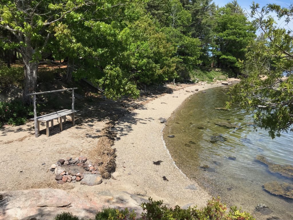
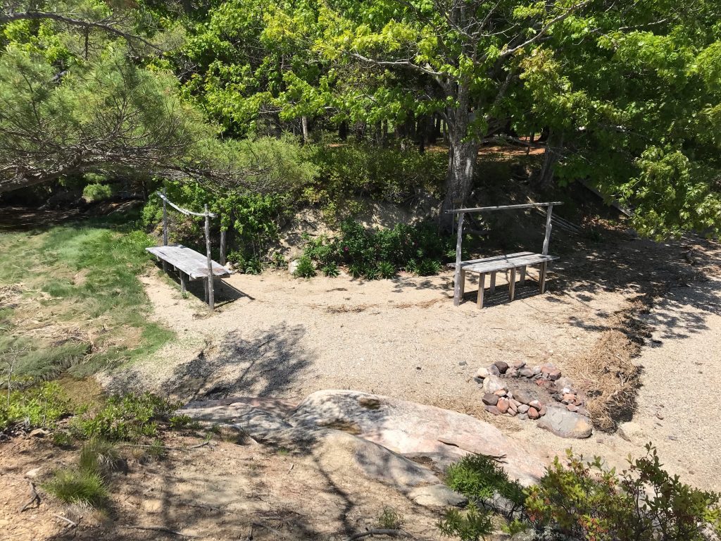
You will land your kayaks or canoes on the beautiful beach at the southern tip of Beal Island. After dinner, you can enjoy a campfire using the stone fire ring on the beach.
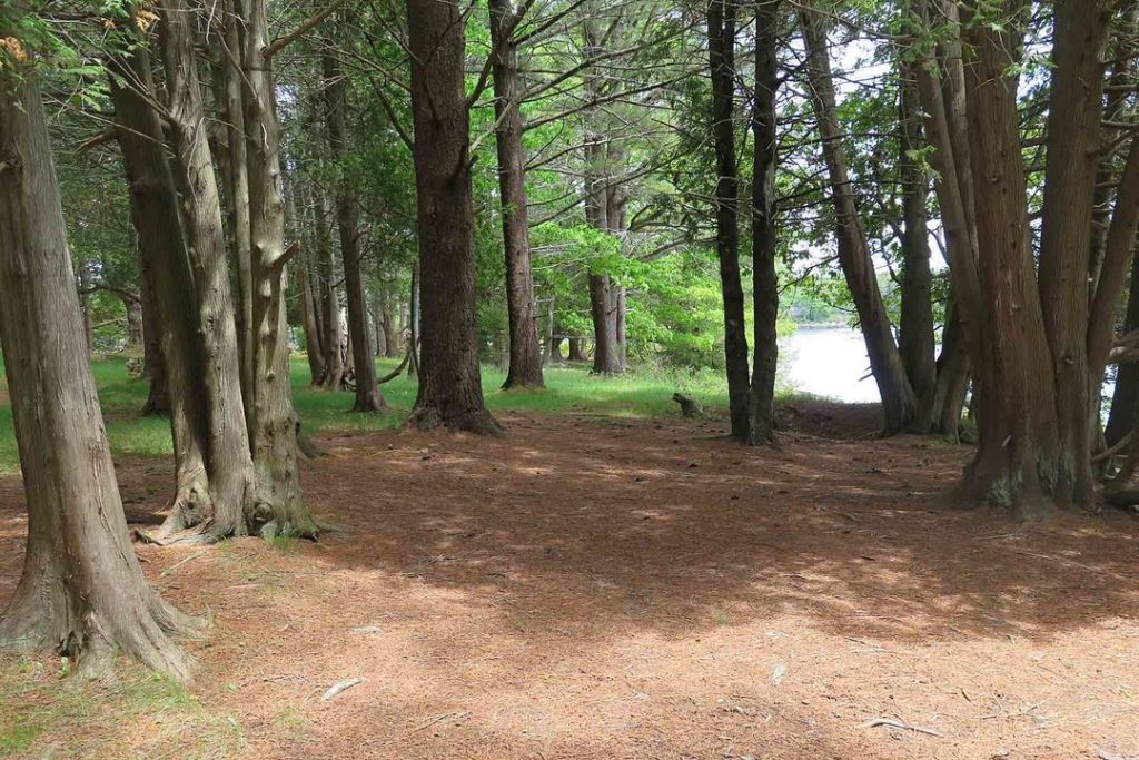
A short set of stairs takes you from the beach to a large beautiful pine grove.
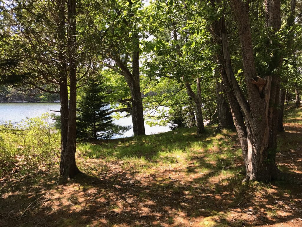
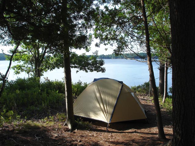
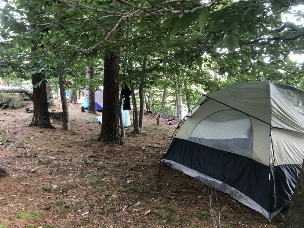
There is ample room for everyone to spread out, have some privacy and enjoy a wonderful view of the water from their tent.
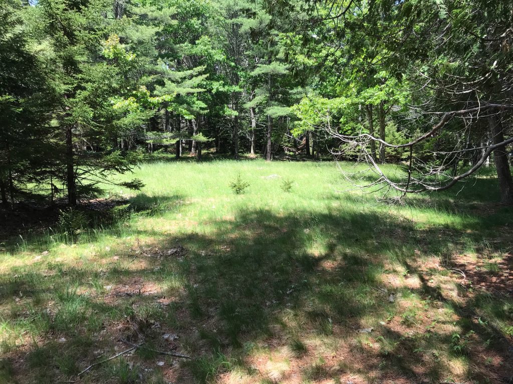
Nestled in the pine grove is a small open grassy area, ideal for larger tents or parties that prefer to locate their tents together.
There are wooden cook tables (one for each rental party) located on the beach. Each table has poles to support a tarp.
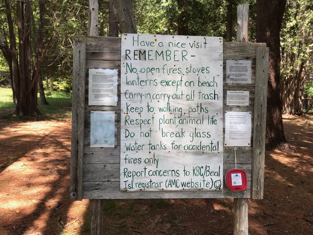
At the top of the stairs you will see a wooden kiosk with information about the island and directions to the hiking trail.
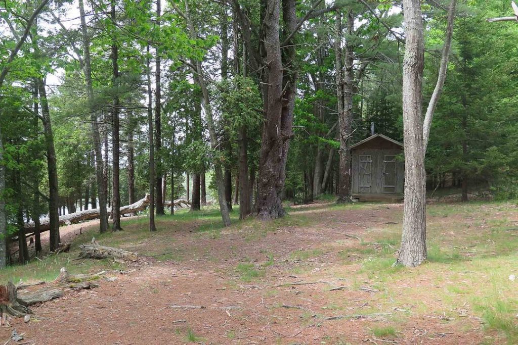
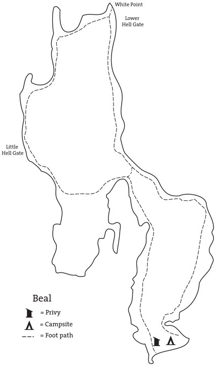
Maine’s coastal islands are fragile ecosystems. An outhouse is located just beyond the kiosk. Limiting human waste to just the outhouse reduces the environmental impact from the many visitors who enjoy the island each summer.
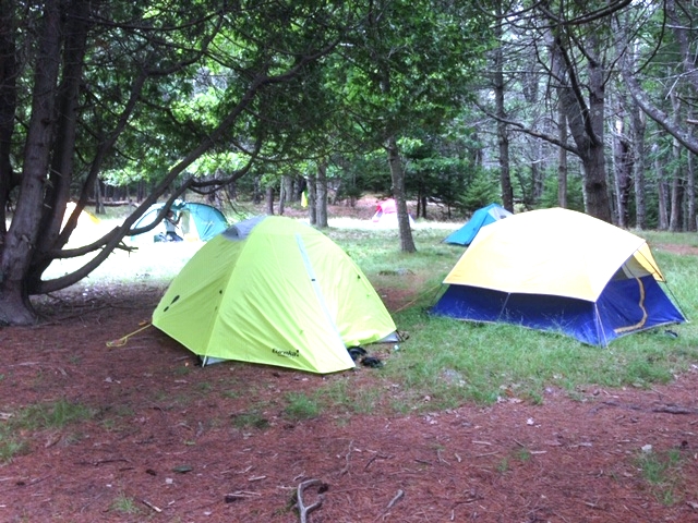
Beal Island is rented to only two groups at a time with a maximum island occupancy of 30. There is ample space to find a scenic and quiet spot to set up a tent.
Beal Island is on the Main Island Trail. MITA volunteers generously maintain the island’s hiking trail. Day visitors are welcome on the island but should please respect the privacy of the campers renting the island campsites.
The Beal Island hiking trail circumnavigates the island, revealing breathtaking views of the rocky coastline, as well as old remnants of the island’s long forgotten residents. The island is named for Jeremiah Beal who lived there with his wife, Phebe Hall Shea, in the early 1800s and farmed the western side of the island.
When the island was inhabited, much of what is now forested had been cut for firewood, to make fields to farm and pastures for animals to graze. Now the fields and pastures have returned to forest.
Beal Island is made up of two lobes joined at a narrow mid-point. The hiking trail follows a separate loop on each lobe. The trail loop on the southern end of Beal is just under a mile. Hiking the entire trail is about two miles. The trail follows the coastline of the island and along much of the trail, the water is visible. As you hike the trail, see if you can find the remains of old stone walls, foundations, and the remnants of pastures. Please remember to take only pictures and leave only footprints.
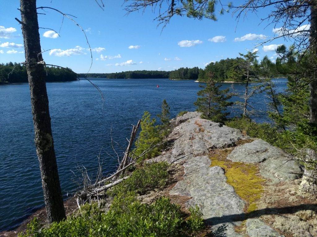
The view to the north from the hiking trail at Whitehead Point.
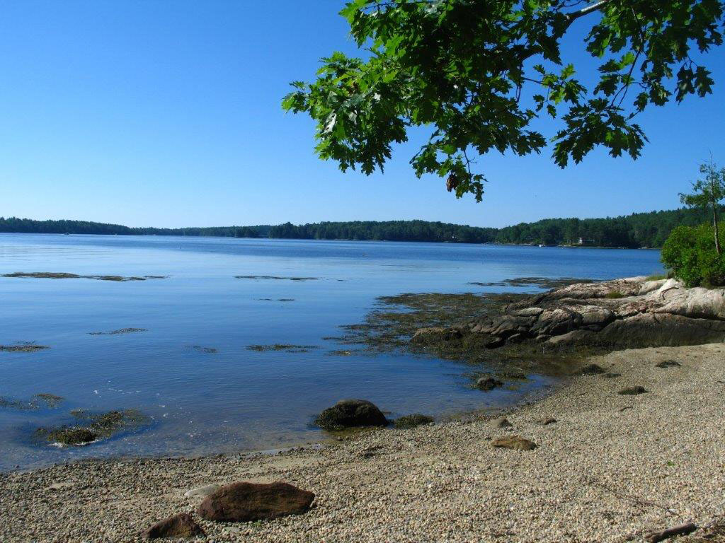
Looking southwest from the beach at the southern tip of Beal Island.